Marine mapping / With Pilot Byte
See the place. Understand the approach.
Aerial imagery and survey data can reveal the detail around a marina: docks, walkways, seawalls and the routes between them. InteliMARIS is developing this geospatial story in collaboration with Pilot Byte.
Discuss a marina surveyFly → Map → Analyze → Connect
Explore a real survey in three dimensions.
The demo uses a Halifax Harbor LiDAR dataset with sample Bahia Mar listing information. The source and location difference are identified in the viewer.
Open the interactive survey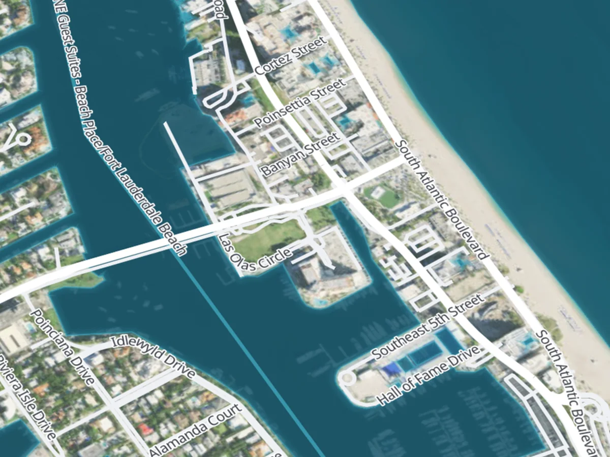
How it fits your day
From information to a useful next step.
- 01
Fly and capture
Scope appropriate aerial imagery, geo-coded video, photogrammetry or LiDAR for the location and task. Capture methods, permissions and deliverables depend on the survey.
- 02
Map and analyze
Turn the available data into views of the environment. Inspect structure, height and access context; confirm the dataset’s origin, date and limits before applying it to a site.
- 03
Connect the useful detail
The proposed next step is to bring suitable layers into WaterWayz™ for marina layouts, approach context and landside access planning. These integrations remain in development.
What you can explore here
- An interactive viewer using real aerial LiDAR survey data
- Height, intensity and derived structure views
- A sample marina page that explains the source and limits of its demonstration data
Proposed workflows
- Repeatable slip and occupancy surveys
- Incident awareness and marina infrastructure inspection workflows
- Marina access-to-vessel routing and future arrival guidance
- Bathymetric material only after equipment, dataset and coverage are confirmed
Explore the detail
Make the next connection.
Your next step
Discuss a marina survey
Tell us what you need to do. We’ll start with the workflow that matters to you.